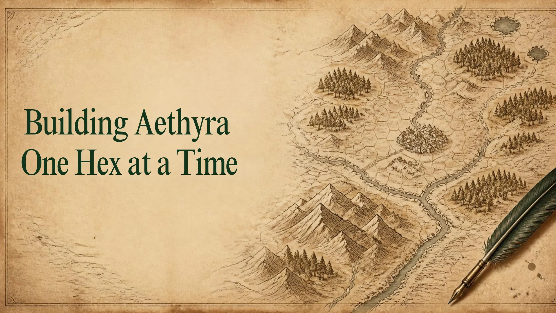
Give a Large Project a Manageable Unit
Aethyra's mapping structure uses 108 tiles, identified from A1 through L9.
Each tile contains a grid of 25 by 25 hexes.
That is 625 hexes per tile and 67,500 hexes across the full structure.
The regional mapping unit is a 30-mile hex.
Those numbers describe the framework.
They don't mean every hex is finished.
They don't mean I need to complete all of them before the world can become useful.
The grid gives the work somewhere to go.
One hex gives me somewhere to begin.
That distinction matters when a project contains more possibilities than any single session of preparation can resolve.
A Hex Is an Area, Not an Encounter
A 30-mile hex has room for more than one interesting thing.
It is not a room in a dungeon.
It is not a single scene waiting for the players.
It is a regional container for terrain, routes, people, locations, and activity.
An imagined hex might include a village, a stretch of river, several farms, a wooded hillside, and the remains of an older road.
That is a design example, rather than a claim about a particular location in Aethyra.
The point is the relationship between the map and the experience.
A symbol can identify a settlement.
It cannot tell us everything that happens there.
A terrain description can establish forested hills.
It doesn't mean every part of those hills looks the same.
The hex organizes an area so I can develop what people encounter within it.
Start With the Ground Beneath Everything
Terrain gives the next decisions a context.
What kind of land is this?
Where is the water?
What can people reach?
What might make movement difficult?
I don't need to begin with a dramatic secret.
Sometimes the useful starting point is a slope, a riverbank, or the difference between an exposed ridge and a sheltered valley.
Those conditions help me consider where people might live, what they might use, and how they might travel.
A village beside a crossing suggests different relationships from a village beyond a difficult pass.
A road following the easiest ground may bring travelers through places they otherwise would never visit.
The land begins giving the world structure before I decide what adventure might happen there.
Ask What Crosses the Edge
The hex boundary is useful for my notes.
It doesn't have to exist for the people living in the world.
A river continues.
A road continues.
People travel beyond the area where I first recorded them.
So one of the most useful questions is:
What enters this hex, and what leaves it?
If a road reaches the northern edge, the next hex needs to account for that road.
If a river passes between two areas, both records need to describe compatible parts of the same river.
If people in one settlement depend on a neighboring market, that relationship belongs in the world beyond the first settlement's entry.
A hex becomes more useful when its edges connect to something.
The grid divides the preparation. It doesn't divide the world.
Put People Into the Conditions
Once I have some sense of the area, I can ask who lives or works there.
Who uses the crossing?
Who tends the fields?
Who knows the route through the hills?
Who claims authority, and what does that authority look like in practice?
These questions move the work beyond naming a location.
Imagine a settlement that depends on a mill downstream.
The miller needs access to the water.
The farmers need somewhere to process what they grow.
Travelers need a route that can carry their carts.
Now a damaged road affects more than the adventurers' journey.
The place contains people whose concerns connect to its geography.
That gives me more to work with when someone asks what is happening here.
Use a Consistent Record
A large map can become difficult to use if every entry follows a different pattern.
One hex receives a long history.
Another gets a list of monsters.
A third has a wonderful description but no information about how anyone reaches it.
A consistent record helps me notice what I have considered and what remains open.
For the article's purposes, the useful questions can be grouped simply:
Where is this area, and what is it like?
Who is connected to it?
What moves through it?
What can someone discover here?
What is changing?
What still needs an answer?
The record doesn't have to answer every question in equal detail.
It gives the work a repeatable structure.
That makes it easier to return later and understand my own decisions.
Build in Small Batches and Check the Connections
Working one hex at a time doesn't mean looking at each one in isolation.
Small batches give me a chance to step back.
In Aethyra's mapping process, batches of five provide a manageable point to check for drift.
Does the terrain still fit together?
Do the routes connect?
Has a description quietly changed something established in an earlier entry?
Am I giving every location the same kind of conflict?
These checks help a sequence of individual records become a connected region.
They also keep me from carrying an unnoticed inconsistency through dozens of later entries.
A batch can be a unit of review while the hex remains the unit of development.
Give Detail Somewhere to Live
Regional notes and scene notes do different jobs.
The regional record may establish a road, settlement, or ruin.
A closer view can describe the people, rooms, paths, and situations someone finds there.
That lets the map support several levels of attention.
At one level, I want to know where the road goes.
At another, I want to know who is standing beside it.
At another, I want to know why that person is reluctant to answer a question.
I don't need to put every detail into the same entry.
I need to be able to move from the larger area to the specific place without losing the connection between them.
A hex can hold several locations.
A location can support several encounters.
The map gives them a shared place in the world.
Leave Some Questions Open
A structured record can create a temptation to fill every space.
An empty field begins to look like unfinished work that must be resolved immediately.
But an unanswered question can be useful if I recognize it as unanswered.
Perhaps I know that an old road reaches a ruin.
I haven't decided who last occupied it.
Perhaps I know that people avoid a stretch of woodland.
I haven't decided whether their concern is well founded.
Those are opportunities for later development.
They become a problem when I forget what is established and what is still a possibility.
Keeping that distinction clear lets me develop the world without turning every early idea into a permanent commitment.
The next layer can grow from what already exists.
Let the Record Change With the World
A hex entry describes more than terrain.
It can also hold conditions that change.
A bridge is repaired.
A settlement gains new residents.
A route becomes difficult to use.
Someone begins exploring a place that others had ignored.
When something becomes established through play or an approved design decision, the record should reflect it.
Otherwise the map and the world can begin telling different stories.
This doesn't require rewriting everything.
Sometimes a brief note is enough to explain what changed and what another entry now needs to account for.
The structure should help me carry decisions forward.
Measure Progress by What Becomes Usable
With 67,500 hexes in the framework, counting completed entries can tell only part of the story.
An entry becomes useful when I can understand the area, find the relevant information, and connect it to what surrounds it.
A handful of coherent hexes can support more meaningful exploration than a large collection of disconnected descriptions.
Can someone travel through this region?
Can they discover something?
Can they meet people with concerns of their own?
Can a choice in one place affect another?
Those questions help me judge what the work is making possible.
The goal is to build a world that can be used and experienced.
Filling the map supports that goal.
It doesn't replace it.
Keep the Next Piece Within Reach
Aethyra is a large project.
The hex structure lets me approach it through concrete decisions.
A stretch of land.
A route through it.
Someone who depends on it.
A place worth investigating.
A connection to the area beyond it.
I can develop those pieces, check how they fit, and continue.
The world gains depth through the relationships between them.
One entry doesn't have to explain everything.
It needs to give the next entry something to connect to.
One hex at a time, the map becomes a world.